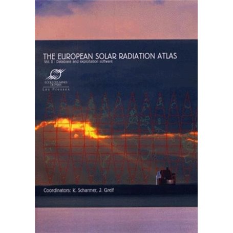
The European Solar Radiation Atlas -Volume 2
Format BrochéAuteur : K. Scharmer

Livraison à Mayotte tout compris

Retours et SAV simplifiés

Garantie Isleden
Description
This atlas offers a unique instrument dedicated to the knowledge and exploitation of the solar resources for Europe in a broad sense, from Ural to Azores and from Northern Africa to Polar Circle. It is a powerful tool for architects, engineers, meteorologists, agronomists, local authorities, tourism professionals, as well as researchers and students. It covers the period 1981-1990.
The volume of the atlas containing the CD-ROM database offers spatial (every 10 km approximately) and temporal knowledge for different time scales (from climatological means - more than 700 stations - to hourly values - 7 stations -) on the solar resources: irradiation (global and its components), sunshine duration, as well as air temperatures, precipitation, water vapour pressure, air pressure in a number of stations.
The software uses the database in either a "map" or a "station" mode at user choice. Over 50 maps provide information on the global irradiation, on the direct and diffuse components, and on the clearness index. Once a station been selected, the program looks for all the data available for this station. The software includes algorithms covering the following fields: solar geometry, optical properties of the atmosphere, estimation of hourly slope irradiation under cloudless skies, estimation of solar irradiation values (going from daily to hourly values, conversion from horizontal to titled surfaces), spectral irradiance, illuminance, daily mean profiles of temperature and other statistical quantities (central moments, extremes, probability, cumulative probability and utilizability curves). Graphics can be displayed in 2 or 3 dimensions. Applications in solar engineering can be performed, too. Several examples concern the most widely developed solar energy applications (simulations programmes and simplified design methods): solar water heaters, passive solar buildings, photovoltaic cells and biomass production. In each case, typical computation processes are described and the way to use the solar radiation data as inputs is explained.
A guidebook provides all information to run the software. It contains advanced functions, as well as a complete description of how the database was constructed and of all the algorithms in use. The database can be consulted with mouse clicking and exported towards other software, such as spreadsheets. Maps can be transferred to image editing or suitable word processing programmes. This product can usefully be supplemented by the complementary volume called: The European Solar Radiation Atlas - vol. 1: Fundamentals and maps, also published by Les Presses de l'Ecole des Mines.
Caractéristiques
Caractéristiques
- Format
- Broché
- Auteur(s)
- K. Scharmer
- Collection
- TRANSVALOR
- Date de parution
- 25/08/2000


